
Map the changes
Review where changes appear across the site and compare observations across dates.
Monitoring platform
Bring site maps, changes in vegetation and signs of disturbance into one record your team can use for fieldwork and reporting.

Field teams provide local knowledge and detailed measurements. Repeated satellite observations make it easier to see where changes extend across a site and focus the next visit.
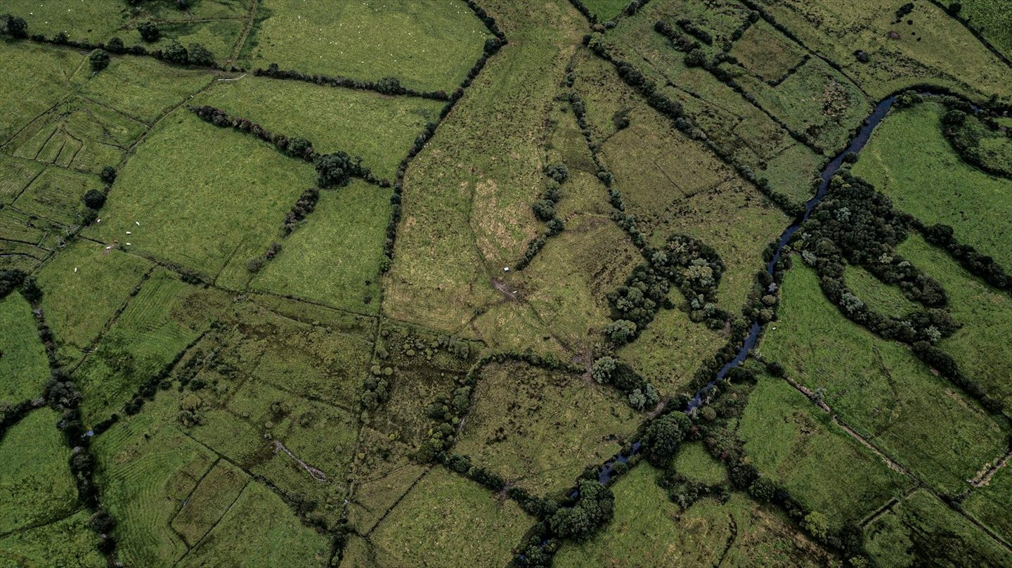
Review where changes appear across the site and compare observations across dates.
Use mapped changes and signs of disturbance to decide where an on-site check would be most valuable.
Use the maps and observations alongside field records when preparing updates for colleagues or funders.
Proveye is working with ESA’s Business Applications and Space Solutions programme to develop satellite-enabled monitoring for grassland and nature projects.
Read the ESA project profileTell us about the site, its approximate area and what you’d like to monitor. We’ll discuss what a pilot could cover.
Discuss your nature project